Mangroves: The ‘saviour’ along Guyana’s coastline
By Vishani Ragobeer
Just weeks after Guyana experienced its worst nationwide flooding, the role mangroves play, especially along the coastline, has come into increased focus.
The science behind it all, including the mangroves’ tolerance for saltwater and ability to adapt to harsh coastal conditions, might not be well understood by many.
Yet, there is a widespread, common understanding that the mangroves along the coastline “break” the waves that come crashing ashore, resulting in the ocean’s waves just gently caressing the 280-mile long seawall and dams that separate land from sea or, well, the ocean.
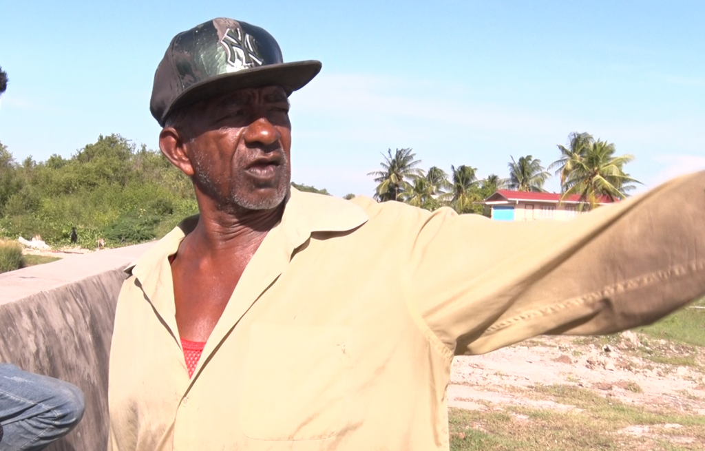
“It’s a very good thing for the wall (and) for the sea dam (or else) the wall guh bruk way and damage the people dem land and everything,” says Khemraj Sadaram in Guyanese Creole to explain that the mangroves serve as a buffer, preventing the force of the Atlantic from destroying the concrete barricade built over the years to keep the water out.

Sadaram works at the LBI koker- a wooden and concrete structure built near water channels to control the flow of water; this koker is one of many littered across the coast. When there is excess water in coastal agricultural lands, the city and housing areas, relief comes by draining and pumping water into the Atlantic at low tide.
Sadaram refers to the mangroves as simply “bush” but emphasised, that if they are removed it would “flood out” the farms and housing areas.
The flooding Sadaram is wary of is not merely a worst-case scenario he plays out in his head.
The overtopping of the waves, leading to flooding, has been a real occurrence plaguing Guyana’s coastline for years. This occurrence has been exacerbated by rising sea levels.
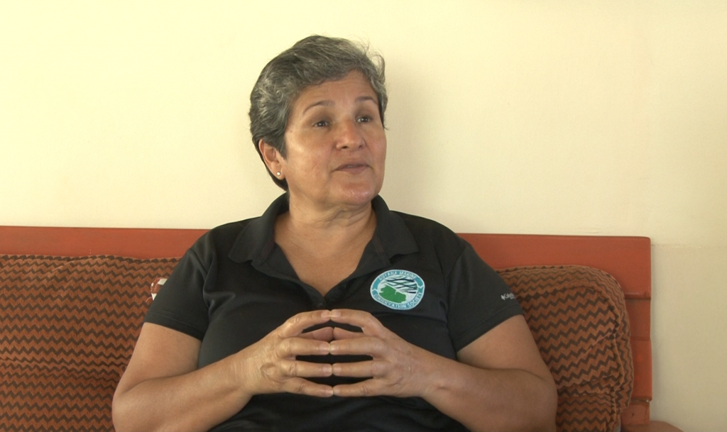
“Because Georgetown and most of our coastline is seven feet below sea level and we are very prone to flooding, especially extreme flooding of late, the most visible importance of mangroves to most Guyanese is its role in preventing and mitigating flooding in some areas,” says environmentalist Annette Arjoon- Martins.
The mangroves, she said, dispels some of the energy of the waves barreling towards the coastline.
And, the water crashing on the coastline has been increasing over the past decades.

Rising sea levels are a hazard associated with the phenomenon of climate change, the United Nations Environment Programme (UNEP) stated in its fifth Adaptation Gap report, published in January, 2021. This hazard, the UNEP stated, places vulnerable countries, particularly those below sea level (like Guyana) at a greater risk for the loss of life, injury, other health impacts and damage to property, infrastructure and ecosystems.
Mangroves, the UNEP also stated, are able to trap and store carbon dioxide from the air; carbon dioxide is a gas that absorbs and radiates heat and has contributed to global warming and climate change.
But, understanding climate change is complicated in itself. By definition, according to the United Nations Framework Convention on Climate Change (UNFCCC), climate change is the change in climate (the long term weather of a location) caused directly or indirectly by human activity and natural climate variability.
Sadaram, for one, does not understand what climate change is. In fact, when asked if he had ever heard about it, he furrowed his brow, shook his head and simply said “nah nah.”
Despite not knowing this phrase, he is cognisant of the rising sea levels. As such, he has to shut the doors of the koker before 4 o’clock on a sunny Saturday afternoon in July, before the high tide barrels towards the coastline. He does so with a contraption similar to a wrench (of some sorts) used to manually close the doors of the koker, thereby preventing the water from flowing into the canal and further, the community’s drainage network.
And, he is certain that the mangroves that populate the coastline at LBI contributed to the reduction in overtopping waves over the past few years.
“That’s wah they plant am deh fah, they got it (because) dah ah de saviour,” Sadaram says.
Large swathes of mangrove forests were planted along the coastal plain, where Guyana’s coast meets the Atlantic Ocean, through the mangrove restoration project chaired by Arjoon- Martins.
The project commenced 11 years ago and resulted in 11 kilometres of mangroves being replanted, coupled with the additional, natural growth of about 500 hectares of mangroves.
Coastal areas are not the only places these mangrove forests are found and coastal protection is not their only benefit.
Further inland, the largest intact mangrove ecosystem is found at the Barima- Mora passage in Region One (Barima- Waini).
Arjoon- Martins, who is also the President of the Guyana Marine Conservation Society (GMCS), related that the Warau indigenous people occupy the land around the Barima- Mora passage at the tip of Guyana.

This indigenous group, she said, has been able to live in harmony with the mangroves and the biodiversity (plants and animals) that live there too.
This harmony, Arjoon- Martins said, illustrates additional benefits of mangroves- they provide a home and habitat for animals and plants, which are used by people in a variety of ways. For the Warau people, however, this means protein from fish and other animals, branches used to construct their homes and other alternative uses for their sources of income.
Along the coastline, too, small fish use the mangroves as a nursery to hide away from predators until they are big enough to fend for themselves in the ocean. And, the fishermen who dock their boats near the Sadaram’s koker, can confirm this- though they try to refrain from catching these smaller fish to allow them to grow and reproduce.
Back in Region One, though, there is still a dearth of knowledge of what exactly exists in the swampy area. And as such, the GMSC has been engaged in a “camera- trapping” study to identify what are some of the animals found there. This research is being led by Felicia Collins, a recently- graduated marine biologist, who grew up in Port Kaituma in Region One.
“There hasn’t been much research here or in the northwest (district of Region One) in general because more research comes from the south and that’s because transportation is easier and there is pre-existing there.
“However, conservation needs a holistic approach so if we are going to make meaningful efforts then we have to have more research in areas where it has never been done before which includes the northwest…” Collins said.
Already, the camera traps have been able to capture some animal species like giant river otters, jaguars and anteaters that may have varying vulnerabilities to global extinction. Collins and Arjoon- Martins relates that the GMCS will be engaging in further studies in the future.

Arjoon- Martins said too that she has already engaged President Dr. Irfaan Ali on his support for nominating the Barima- Mora passage for a UNESCO World Heritage site. That support, she says, is guaranteed once the society can provide the necessary data to support the area’s immense value.
World heritage sites represent unique and/or significant examples of the world’s cultural and/or heritage.
There is one consideration, however. That is, conservation efforts here, as in many other places, are constrained by the need to support lives and livelihoods with no other apparent alternative.
In Region One, there is some amount of deforestation as the Warau people and other residents cut down the mangroves and use them for construction materials or firewood.
Beyond that, some people make a living from wildlife trapping where the animals that live among the mangroves are caught and sold.
“In our work, we have always been very pragmatic,” Arjoon- Martins said. “You cannot have tunnel vision and just protect the natural resources and not care about the people. Actually, natural resources will not succeed in its protection unless you get the people involved.”

In the case of the Warau people and their involvement in wildlife trapping and the disruption of the mangrove ecosystem, she emphasised that they do not have many other viable sources of income, if any at all.
Even on the coast, this pragmatism, Arjoon- Martins said, must underpin developmental efforts. It is for this reason she said that she understands that the recent displacement of mangroves in Region Three may result in economic development and greater employment but emphasised that such development must include sustainable development efforts.
If mangroves are displaced in one area, she suggested that more mangroves can be planted- and grown successfully- in other places. Additionally, she said that research efforts- like the work being done by the GMSC in Region One- can be supported to help advance conservation efforts.
Importantly, such considerations are already being pursued. Kene Moseley, Project Coordinator of the Mangroves Department at the National Agriculture Research and Extension Institute (NAREI), says that works are underway to ensure that there is a corporate buy-in of conservation efforts.
A US $18,500 agreement was signed between Tullow Oil (Guyana) and NAREI to populate one kilometre of the coastline at Colombia/ Aberdeen on the Essequibo Coast in Region Two (Pomeroon- Supenaam) with mangroves.
Over the past few months, Moseley said that 18 community nurseries have been set up at nearby communities, to plant 36,000 seedlings needed for this project. These nurseries are run primarily by women.

Transplanting those seedlings from the nurseries to the coastline will commence this week and Moseley says that based on the research done already, it is expected that there will at least be about a 90 per cent success rate.


