 Tue, Jun 30, 2026


 Tue, Jun 30, 2026


EPA officially monitoring offshore activities with use of satellites


The Environmental Protection Agency (EPA) and the Ministry of Natural Resources have partnered with Maxar Technologies to monitor offshore petroleum and environmental activities with the use of satellites.
Through the three-year agreement, the EPA will utilise Crow’s Nest Maritime Tipping and Cueing Service to monitor drilling vessels for regulatory compliance and safety.
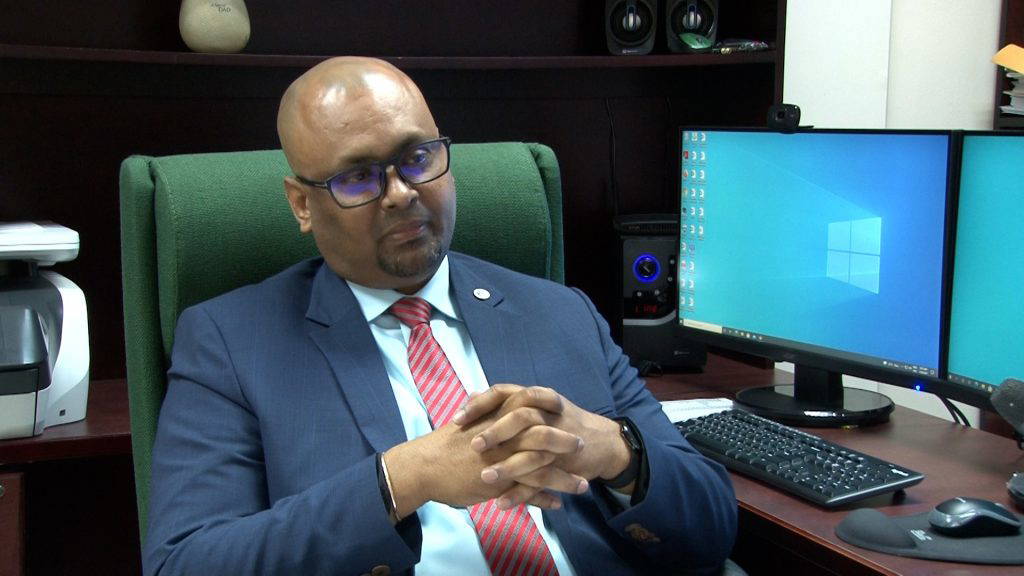
During an interview with the News Room on Monday, EPA Director, Kemraj Parsram said the implementation of the programme is part of the EPA’s strategy of capitalising on existing, cutting-edge state-of-the-art technology.
“It is the way to go now as a modern regulator. We are looking at using artificial intelligence, big data analytics, state-of-the-art equipment and technologies to basically execute our mandate and one of the key things is monitoring what is happening in our environment and in this case, the oil and gas sector. We want to keep an eye on remote, real-time 27/7, every second eye of what happens offshore and the other sectors as well, mining, forestry and so on,” he explained.
The partnership marks Maxar’s first Crow’s Nest contract in the Caribbean.
Monitoring of activities will be done on a 24/7 basis from a control room which has been set up at EPA’s headquarters.
“Monitoring means keeping an eye to assess the concentration of pollutants, access discharges, detect spills and so on….You can see remotely the time what the images are. We can zoom in to the location where we can actually see what’s happening. So you can see from a bird’s eye view,” Parsram said.
The satellites can detect oil spills and emissions.
Among the equipment included are air and water quality sensors and a state-of-the-art drone called a “flying lab” which consists of sensing equipment and thermal cameras.
“So, we can fly that drone over the industrial sites, the FPSO and detect with their emissions from gases and what’s not,” the EPA director told the News Room.
To date, ten persons have been trained and the number is expected to increase.
“We are continuously building our capacity here with staff to actually not just using Maxar technologies but other technologies including physical inspection…So in terms of our monitoring and compliance, it is a combination of physical inspection on an as-needed basis and capitalizing on technology to actually have remote real-time. So, I could be in my bed and if anything happens offshore, I can get an alert on my phone,” the EPA Director further explained.
Once breaches are detected, Parsram said action will be taken and consequences will follow.
“We just not monitoring and not do anything. But as provided in our laws and in fact, that is one of the aspects of this programme of strengthening our legal framework and capabilities. We plan this year to promulgate regulations with our compliance enforcement regulations which will give us an outline specifically what are the actions we can take when we find breaches of the law,” he said.
Maxar Technologies is a provider of comprehensive space solutions and secure, precise, geospatial intelligence.
Apart from the EPA, the agreement will also allow the Guyana Forestry Commission to combine several of Maxar capabilities to track illegal deforestation, protect mangroves and safeguard the country’s biodiversity.
The programme was funded with support from both the Government of Guyana and the World Bank.