 Wed, Jul 15, 2026


 Wed, Jul 15, 2026


GDF opens Drone Operations Centre, 17 drone pilots certified


The Guyana Defence Force (GDF) has officially opened its Geographic Information System (GIS) and Drone Operations Centre, a cutting-edge facility that aims to enhance its operational capabilities. The centre was constructed this year and will serve as the central hub for all drone operations within the force, the GDF said in a release.
“The facility is designed to support real-time data collection, analysis, and mapping, enabling precise decision-making and enhanced mission planning,” the release stated.
It represents a significant step toward modernising the GDF, aligning with global military and security innovation trends, and positioning the force to address emerging challenges while contributing to Guyana’s safety and development.
The centre further equips the GDF to address national security challenges, conduct surveillance missions, and safeguard Guyana’s borders with cutting-edge technology.
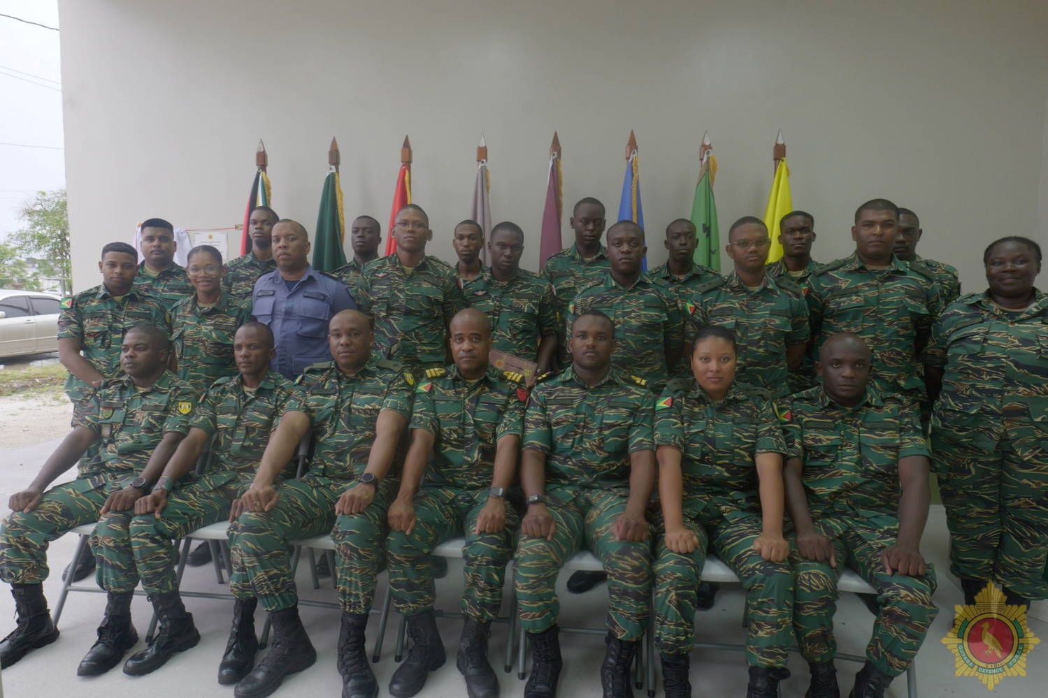
To support the development at the new centre, seventeen soldiers have successfully completed the first Grade Three Drone Pilot Course, earning certification as drone pilots.
The five-week training, conducted at Headquarters Base Camp Ayanganna, Thomas Lands, provided essential knowledge and practical skills in drone technology, operation, care, and maintenance.
The programme covered vital topics, including drone regulations, airworthiness inspections, environmental assessments, and navigation using advanced systems. Participants also learned emergency response procedures, no-fly zone identification, and the application of appropriate sensors and flight settings. Hands-on sessions focused on advanced maneuvers, enhancing operational expertise.
Lance Corporal Mark Trotman of the 31 Special Forces Squadron was named the Best Graduating Student for the programme, while Private Jyrom Elliot of the Guyana National Reserve earned the Runner-Up award.